The Medical Officer of Health for the City of Hamilton is issuing a Cold Weather Alert effective overnight, Tuesday, February 24. A Cold Weather Alert is issued when current or anticipated weather conditions are at or below minus 15 degrees Celsius or minus 20 with wind chill. This alert will remain in effect until a cancellation notice is issued.
From Tuesday, March 3, to Wednesday, March 4, filming will take place from 7am to 11pm at 1464 Centre Road. This may impact traffic flow in the surrounding area.
The accessibility door at Carlisle Branch is not working. We aim to fix it quickly.
Renovation preparations are underway in anticipation of the March 2 start. Computer availability may be limited. Living Room and Makerspace areas are closed. (The next nearest Makerspaces are Sherwood and Terryberry Branches). Renovations are expected to wrap up by late Spring. Thank you for your patience.
Renovation preparations are underway in anticipation of the March 2 start. Starting the week of February 23, the 2nd Floor will be closed. The Children's collection will be temporarily available on the 1st Floor. Renovations are expected to wrap up by late Spring. Thank you for your patience.
Starting Tuesday, February 10, the First Floor Living Room will be unavailable due to renovation preparations. Study and work spaces are available on Floors 2-3.
Please note the Noon Hour Concert on Friday, February 13, will be held at Terryberry Branch instead.
Thank you for your patience.
Please note the following Bookmobile visit updates.
Wednesday, February 25
Swansea 10:00-10:30am - Cancelled
Helen Detwiler 11:00am-12:00pm - Cancelled
Warplane Museum 3:00-4:00pm - Cancelled
Friday, February 27
Winona 11:00am-12:00pm - Cancelled
Maplewood 2:30-4:00pm - Cancelled
The accessible washroom at Carlisle Branch is not working. We aim to get it fixed quickly.
Effective Sunday, February 1, Sunday service hours at Central Library will be paused.
Sunday Hours will continue at Dundas, Red Hill, Terryberry, Turner Park, Valley Park and Waterdown Branches from 1-5pm.
Maps

Fire Insurance Maps
These plans are valuable maps for building research. They are large scale maps that show shape, size and exact location of individual buildings. They provide detail about the construction materials, outbuildings and neighbourhoods.
1898: Local History & Archives (microfiche only) and the Lloyd Reeds Map Collection, McMaster University.
Revised to 1911 – Vol. 1, 2, 3: Local History & Archives (microfiche only) and Lloyd Reeds Map Collection, McMaster University.
1927 revised to 1947: Local History & Archives (incomplete)
1927 revised to 1933: Local History & Archives (complete)
Mid-1960’s – Vol. 1, 2, 3, 4, 5: Local History & Archives, Lloyd Reeds Map Collection, McMaster University.
Bird’s-eye View, Pictorial and Surveyor’s Maps
These types of map can show a building’s location within its neighbourhood and the city of Hamilton. These maps can also provide information about the layout of the city or town and changes in street names over the course of time.
1842 – surveyor’s map showing buildings
1854 – from the escarpment looking north
1859 – from the escarpment looking north
1876 – from the Bay looking south
1883 – from the escarpment looking north
1893 – from the Bay looking south
1909 – from the Bay looking south
1921 – surveyor’s maps showing buildings. Large versions are hanging in Local History & Archives. Smaller versions are available in the map collection.
Map inventories are available by date or by location.
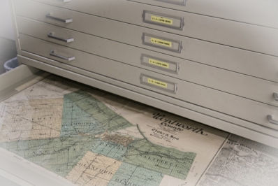
Wentworth County Atlas
There were a series of detailed atlases created to document counties across Ontario. They can show locations of structures and other detail. Some buildings are also illustrated in the body of the atlas.
1875 – atlas stand
1903 – R912.7135 T985 CESH folio [note: fragile]
You can also search Historical Atlases on-line, a project hosted by McGill's Rare Books and Special Collections Division with indexed county atlas information.


